Graham's Gallery
  • Home
  • Talks
  • About
  • Contact
  • Blog
  • Links
  • Post Card Collection
  • Coast, City and Countryside
  • Deeds not Words test

Four walks and Four Craft Fairs ...

20/9/2017

0 Comments

 
Where does time go? It was when reading a friend's blog that I realised I hadn't updated my blog since March! Since when I've sold photographs at 4 craft fairs (at the fantastic Vintage Festival in Morecambe and at 3 events organised by the Bay Craft Collective at Heysham Heritage Centre).

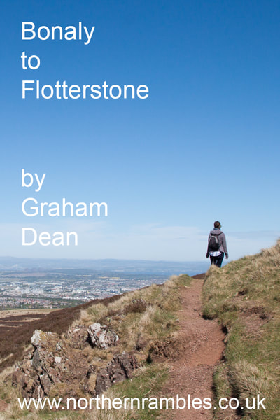
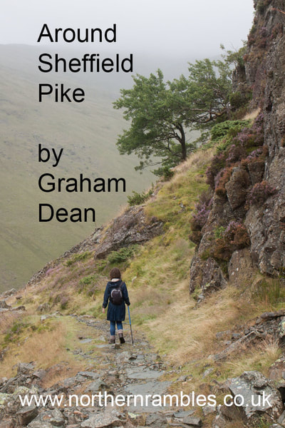
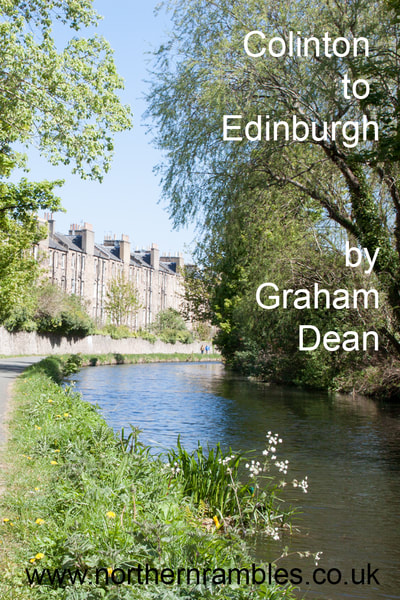
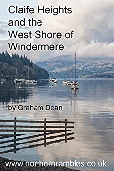
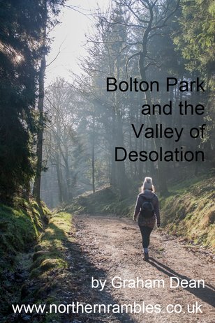
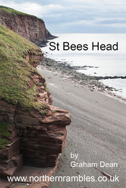
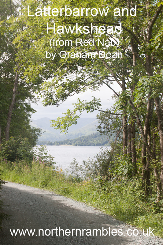
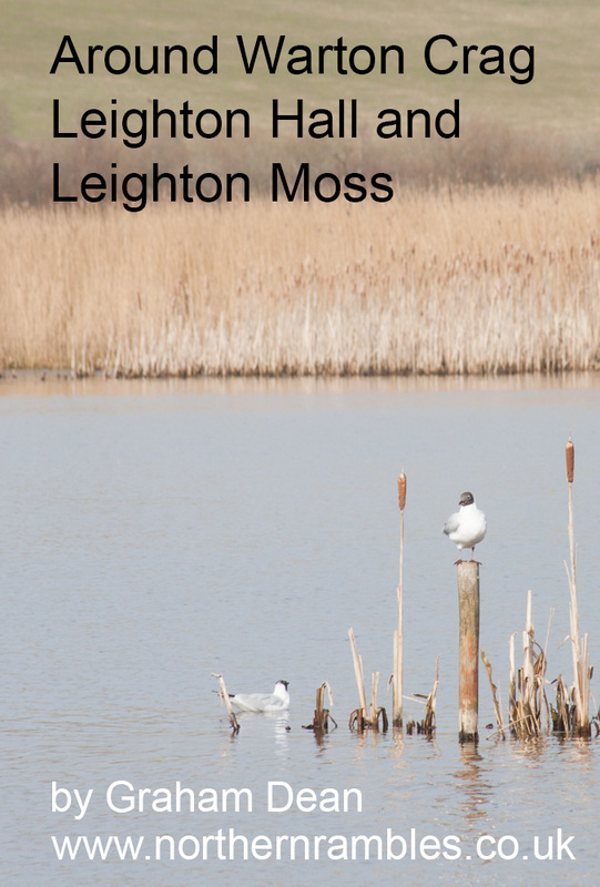
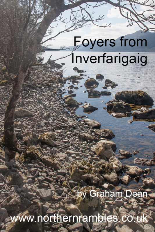
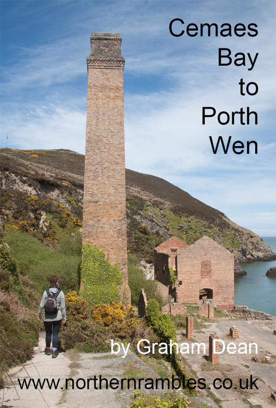
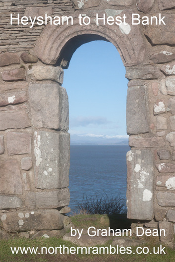
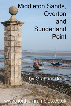
There have also been 3 more Kindle book, walk descriptions - and an additional one only available from the website. 

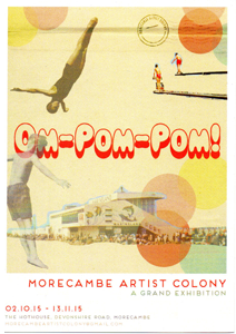
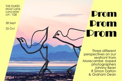
I've also had picture displayed at Morecambe Artist Colony's Members Exhibition and taken part in a group exhibition at Carnforth Station Heritage Centre (with Johnny Bean and R Simon Dalton).
0 Comments

Claife Heights 

14/3/2017

0 Comments

 
Picture
A 5¼ mile walk, mostly along well-defined paths and tracks - though some may be muddy after rain - as can be seen from the images: it was very muddy on the day we photographed the route. The final section follows a tarmac road alongside the lake. There are some great views over Windermere (especially if you walk on a better day than we did) and the return route is along the lake shore.

​Free web version

Kindle version

0 Comments

Bolton Park and the Valley of Desolation

25/1/2017

0 Comments

 
Picture
Mostly along well-defined paths and tracks - though some may be muddy after rain and there is one shallow ford to cross. The routes starts with an ascent through deer park up to heather moorland. The descent is mainly through a wooded river valley. Note: part of the route follows permissive footpaths on which dogs are not allowed.

Mostly along well-defined paths and tracks - though some may be muddy after rain and there is one shallow ford to cross. The 4.5 mile routes starts with an ascent through deer park up to heather moorland. The descent is mainly through a wooded river valley. Note: part of the route follows permissive footpaths on which dogs are not allowed.

​Free web version

Kindle version

0 Comments

St Bees Head - the most westerly point in northern England

14/11/2016

0 Comments

 
Picture


​Most of the 6⅔ mile route follows a spectacular section of the England Coast Path (and also the start of the unofficial Coast to Coast Path) – and most of it follows a clear clifftop path along the Heritage Coastline that is the most westerly in northern England. The inland loop crosses a large field where there is no path visible on the ground, then follows clear paths and tracks before returning to the coast.

Free web version
​Kindle version


0 Comments

Northern Rambles - new walk - Latterbarrow and Hawkshead

1/8/2016

0 Comments


Reaching just over 800 feet (245 metres) Latterbarrow may not be among the highest of Lakeland's peaks - but there are great views from the summit. This walk is almost linear, with a loop in the middle. The route mainly follows forestry tracks - exceptions to this are the narrower, fairly steep sections leading to and from the summit. 

Click here to view the web version or also available as a Kindle book.

Picture
0 Comments

Three new walks - only one in Northern England

21/6/2016

0 Comments

 
Picture
Picture
Around Warton Crag is the only one in the north of England. Foyers from Inverfarigaig explores the lills and shores at the south of Locj Ness, whilst Cemaes Bay to Porth Wen is mostly along the Anglesey Coast.
The links in the text lead to the free web-based route descriptions.
Picture
0 Comments

The first walk of 2016  - Heysham to Hest Bank

28/3/2016

0 Comments

 
Heysham to Hest Bank - Cover Picture
There's lots of interest on this walk: Grade 1 listed buildings; fantastic views over Morecambe Bay (one of the most important areas in the UK for wading birds) along with the outdoor art of Morecambe's Tern Project. The route is mostly along the promenade with short sections along grassy footpaths around Heysham Head. There's also the option to walk some sections on the beach.
The recommended way to complete this walk would be to park on the foreshore at Hest Bank, catch a bus to Heysham Towers and then follow the walk back to your car. At the time of writing the Stagecoach number 5 bus (Carnforth to Overton service) operates once an hour, seven days per week.
There are plenty of alternative ways of completing the walk in sections using public transport or retracing your steps - a possible extension to the walk to Bolton-le-Sands provides wider public transport opportunities if you don't leave a car at Hest Bank. (the view - and the tides - will be different - though walking north provides the better views and usually has the wind at your back). Most of the directions are given for walking on the promenade - it may be possible to walk on the beach - but do beware quicksands and extremely fast moving tides (on the day that I photographed the Heysham to Sandylands section the emergency services were rescuing someone trapped on part of the beach by the incoming tide).

​Link to web version of the walk.

Kindle version.
0 Comments

Latrigg revisited

3/12/2015

0 Comments

 
Picture
​Whilst staying in Keswick during October we walked up Latrigg from the other direction than we had before - what a great little hill - fantastic views. The Kindle book has been re-written to follow this latest walk. Both old and new are available from the Northern Rambles website.
0 Comments

The last 6 months ...

5/10/2015

0 Comments

 
Three new walks...
... work in two group exhibitions ...
Picture
... and prints in one new shop.

​I must make more effort to keep this blog up to date!!!

0 Comments

Middleton,Overton and Sunderland Point

23/3/2015

0 Comments

 
Picture

The highlight of the second walk of 2015 is the end of the world atmosphere of the beach around Sunderland Point. The route runs above the mean high water line - but do check on the tides, as this part of the walk is impassable at high spring tides. The route comprises short lengths along minor roads, field paths and farm tracks as well as along the rocky beach. Most of the buildings in Sunderland are Grade II Listed and the whole hamlet is a Conservation Area. It is inaccessible to road traffic for about 2 hours at either side of high tide, however the footpaths used to reach the hamlet are accessible whatever the state of the tide (and there is an alternative to the beach route if the tide is too high to make it passable).


0 Comments
<<Previous
Forward>>

    Archives

    July 2021
    April 2021
    December 2020
    September 2020
    June 2020
    December 2019
    October 2019
    September 2019
    June 2019
    May 2019
    April 2019
    September 2018
    May 2018
    April 2018
    February 2018
    January 2018
    November 2017
    October 2017
    September 2017
    March 2017
    January 2017
    November 2016
    October 2016
    August 2016
    June 2016
    March 2016
    December 2015
    October 2015
    March 2015
    December 2014
    October 2014
    September 2014
    August 2014
    June 2014
    May 2014
    March 2014
    February 2014
    January 2014
    December 2013
    November 2013
    October 2013
    September 2013
    August 2013
    July 2013
    June 2013

    Categories

    All
    Ebooks
    Educational Resources
    Exhibitions
    Gallery Website
    Jumbo Post Cards
    Northern Rambles
    Photographing Events
    Prints To Hang
    Services For Small Businesses
    Talks

    RSS Feed

Powered by Create your own unique website with customizable templates.